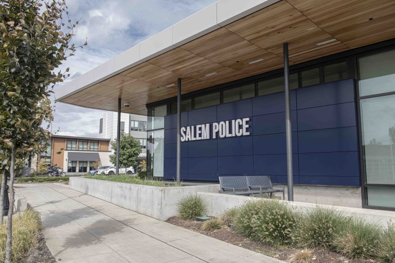
City closes Woodmansee Park lot due to flooding; wind advisory in place
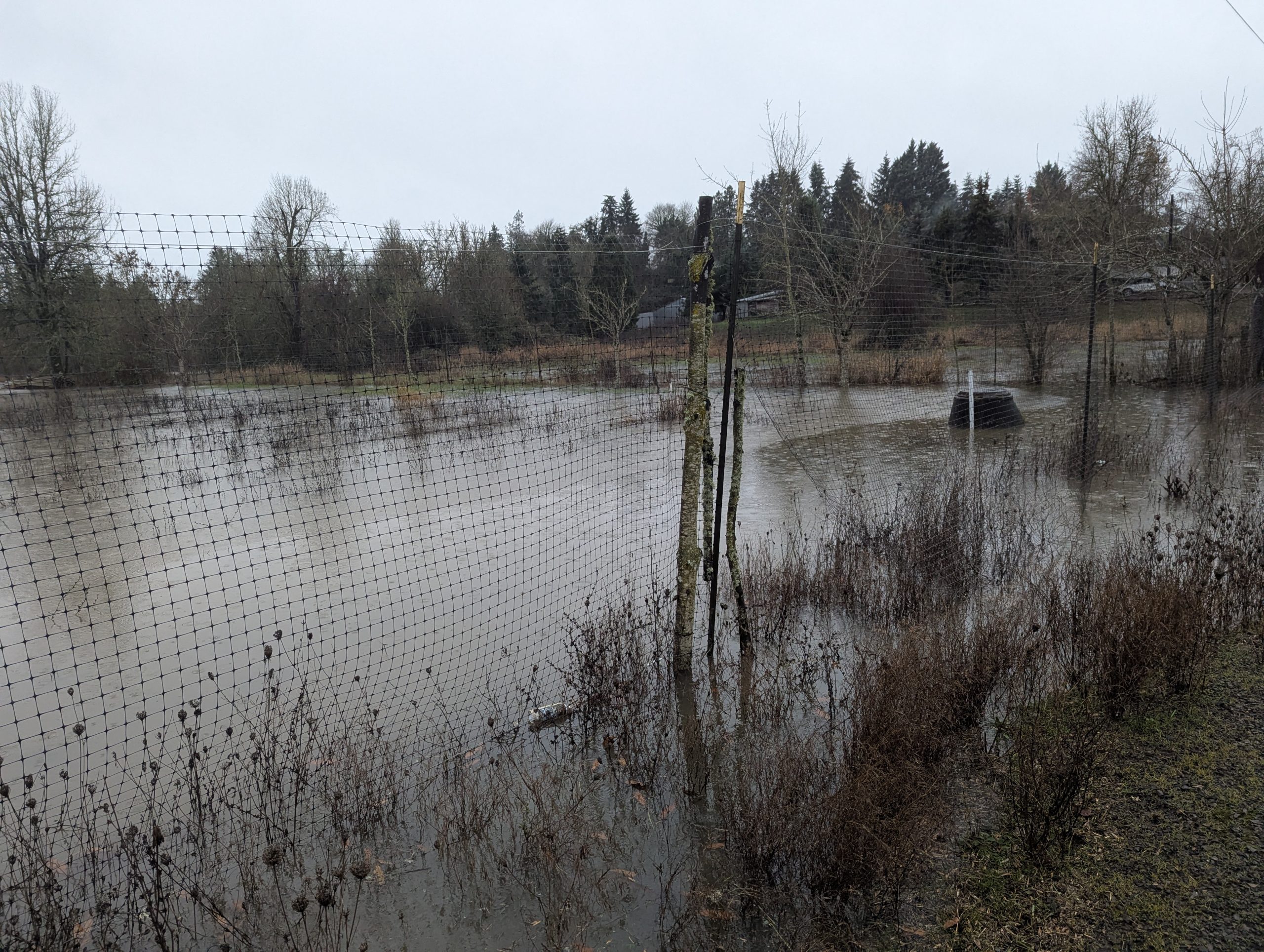
High wind gusts have been added to the list of weather hazards in Salem this week as the city is under a flood watch due to expected high rains.
As of Monday, the National Weather Service forecast shows rain incoming every day this week, with between 1.7 and 2.75 inches expected to fall in Salem by Wednesday. Tuesday will likely have the heaviest rains.
Floods are likeliest in low-lying areas by creeks and streams.
There will also be wind gusts Monday and Tuesday, as strong as 36 mph. There’s a risk of downed trees and power outages, according to the National Weather Service’s wind advisory. The service asks drivers to be cautious, and residents to secure objects like garbage cans prone to flying around.
The city of Salem is offering free sandbags at the West Salem Park & Ride at 1439 Brush College Rd. N.W. and Woodmansee Park, 4629 Sunnyside Rd. S.E.
There are also sandbags available near the public works operations building. To get there:
“Sand-seekers should navigate to Gate 15, whose address is 2105 Oxford St. S.E., to find the filling station. After hours they will need to use a speaker box at the gate to arrange for access. Those with questions can call Public Works Dispatch at 503-588-6311,” said city of Salem spokesman Jason Roberts in an email.
See a map of open sandbag filling stations here.
About 0.8 inches of rain fell between Friday and Sunday, according to National Weather Service data.
The city closed parking lot 3 at south Salem’s Woodmansee Park on Monday afternoon. The area could be underwater by Monday night, the city said in an announcement. It’s the parking lot closest to the playground.
The Willamette River is not expected to flood in Salem, with predictions putting the river’s maximum height for the week about 5 feet below the “action” level that would prompt local agencies to mitigate.
But smaller streams and tributaries leading into the Willamette River are at risk of flooding, said lead meteorologist Rebecca Muessle from the weather service’s Portland office.
“At this point, almost everywhere has some kind of risk of experiencing some kind of flooding. Some areas have a higher probability than others, but the rain is so widespread that there’s a pretty high risk of flooding all over northwest Oregon and southwest Washington,” she said.
Salem is on the relatively lower risk side, she said, since it’s on the southern edge of the weather pattern.
Roberts said there are no specific streams or creeks of concern as of Monday afternoon.
“We will have to see how the storm progresses and where we may see greater activity,” Roberts said.
The city of Salem has flood safety tips and resources on its website. It also tracks stream height levels on a map, which featured none at warning level as of Monday afternoon.
Contact reporter Abbey McDonald: [email protected] or 503-575-1251.
A MOMENT MORE, PLEASE– If you found this story useful, consider subscribing to Salem Reporter if you don’t already. Work such as this, done by local professionals, depends on community support from subscribers. Please take a moment and sign up now – easy and secure: SUBSCRIBE.

Senior Reporter Abbey McDonald joined the Salem Reporter in 2022, where she covers homelessness and housing. She previously worked as the business reporter at The Astorian. A University of Oregon grad, she has also reported for the Malheur Enterprise, The News-Review and Willamette Week.