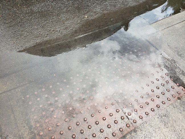
The city of Salem has opened places to pick up sandbags and is asking residents to help keep storm drains clear and report any flooding ahead of several days of forecasted heavy rain.
Over the next three days, the National Weather Service in Portland forecasts up to 3 inches of rain starting Thursday afternoon. Combined with melting snow from the Cascades, the service warns of potential flooding.
“We have at least two, if not three, atmospheric rivers that are set to impact our region back to back to back,” said Tyler Kranz, the lead meteorologist at the service’s Portland office. Atmospheric rivers are weather formations that transport water vapor and bring rains. “So we’re going to get dumped on with a lot of rain this weekend.”
To the east, the Cascade Range will see heavy snows through Saturday morning, bringing snowmelt to the Salem area that afternoon.
“All that water has to go somewhere. It’s going to flow into all of our rivers, creeks and streams and it’s going to cause those river levels to rise pretty quickly,” Kranz said. He said there’s a 20-40% chance that most rivers in the area could reach a minor flooding stage.
In Salem, the Willamette River is at a low water level and is not predicted to flood, but there could be some water rise that impacts Minto Brown Island Park or Wallace Marine Park, said city spokesman Trevor Smith.
Streams may see more of an impact from water level rise, and residents can look up water levels and information on the city’s high water watch webpage.
Recent cold weather led to trees shedding their leaves, which now block storm drains and creeks, said Smith. Public works crews are working to pick up leaves 24 hours a day.
“We’re looking for the public’s help in making sure those storm drains are clear,” Smith said. “So if people can walk their street, take a shovel, clear out their storm drains so that water can drain properly.”
Residents can also pick up sandbags in two locations in central and west Salem as of Thursday morning, with more locations to be opened if needed, Smith said. One location is the city’s shops complex at Southeast 22nd Street and Southeast Oxford Street, and the west Salem location is at the park and ride at 1439 Brush College Rd. N.W., off of Wallace Road.
A map of open sandbag locations can be found here.
There will also be a higher risk of hydroplaning with standing water. Joe Hutchinson, the city’s emergency manager, said drivers should use caution, and not use cruise control which can malfunction with standing water.
The Mid-Willamette Valley Community Action Agency will inform unsheltered people living near the Willamette River and Mill Creek if there area any drastic changes to the forecasted water levels requiring evacuation, chief program officer Ashley Hamilton said in an email.
If the waterways reach levels that could cause significant disruption to the health and safety of unsheltered people, the agency may open emergency shelters. As of Thursday afternoon’s water level forecast, they do not plan to open any.
“However as we monitor the forecast, if conditions change emergency shelter information will be provide on the MWVCAA and ARHES project Facebook pages, as well as MWVCAA website,” Hamilton said.
Contact the Public Works Dispatch Center 24 hours a day at 503-588-6311 to report high water, blocked drains or other weather-related concerns.
Update: This story was updated to include comments from the MWVCAA and a more accurate address for the sandbags at the shops complex.
Contact reporter Abbey McDonald: [email protected] or 503-704-0355.
SUPPORT OUR WORK – We depend on subscribers for resources to report on Salem with care and depth, fairness and accuracy. Subscribe today to get our daily newsletters and more. Click I want to subscribe!
Abbey McDonald joined the Salem Reporter in 2022. She previously worked as the business reporter at The Astorian, where she covered labor issues, health care and social services. A University of Oregon grad, she has also reported for the Malheur Enterprise, The News-Review and Willamette Week.


