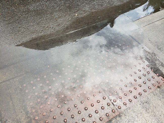
Heavy rains may bring floods to the Mid-Willamette Valley and much of western Oregon beginning Thursday afternoon, the National Weather Service’s Portland office said.
The agency has issued a flood watch in effect through Friday night and warned streams and rivers in the region may flood and debris flows are possible in burn areas in the Santiam Canyon.
“Landslides near steep terrain cannot be ruled out either,” the alert said.
The heaviest rains are expected to begin Thursday afternoon.
Total rain accumulation in the north Oregon Cascades and Coast Range may exceed 6 to 12 inches from Wednesday to Friday, the agency said. One to 3 inches is “possible for the interior lowlands.”
The agency said the areas most likely to flood are along the Wilson River and Trask River near Tillamook and the Nehalem River near Foss.
“Creeks and smaller rivers in the Willamette and coastal tributaries may also be impacted,” the flood watch said.
The City of Salem is encouraging people to monitor local river conditions on the Mid-Willamette Valley High Water Watch website, which has data from rain and stream gauges around the city.
As of Wednesday afternoon, the city has two sandbagging sites open where people can get sand: the West Salem Park & Ride in the 1400 block of Brush College Road Northwest, off Wallace Road Northwest; and the city’s public works shop near the intersection of Southeast Oxford Road and Southeast 22nd Avenue. More information about sandbagging and a map of open sites is available on the city website.
-Rachel Alexander


