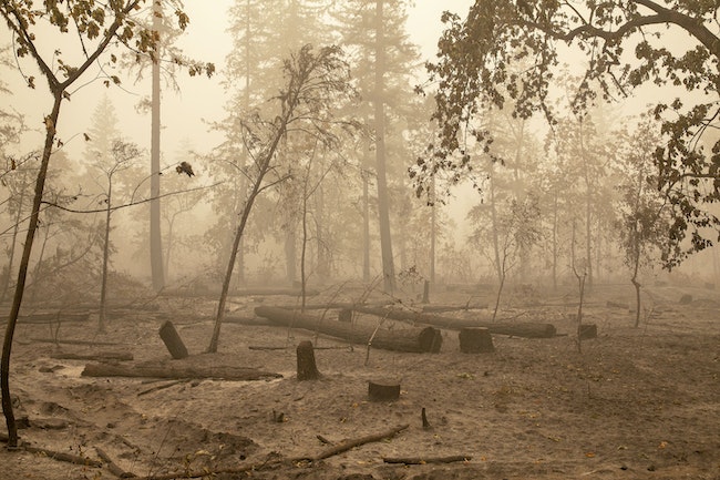


Fishermen’s Bend Recreation Site on Oregon Highway 22 west of Mill City was heavily damaged by the Beachie Creek Fire. (Pool photo by Rob Schumacher/Statesman Journal)
Oregon Wildfire Response launched a map Wednesday that shows which trailheads and recreation sites are closed following last year’s wildfires.
“There was a need for a ‘one-stop-shop’ map for the public to be able to understand where these closures are to help the public plan ahead, avoid closed areas, and recreate safely outdoors,” the website reads.
Some closed recreation areas are unsafe to enter because of the danger of slides or damaged trails while others have ongoing recovery activities, according to the state Office of Emergency Management.
Most of the recreation sites in the Santiam Canyon are closed following the Beachie Creek Fire in September. However, Silver Falls State Park to the west and the Mongold Day Use area in Detroit are listed as open.
More details about local closures are available on the Marion County website.
-Saphara Harrell


