


 Snow is expected to dump in the Cascades Tuesday night. (Courtesy/Oregon Department of Transportation)
It’s beginning to look like a white Thanksgiving for Oregon, and the National Weather Service is urging holiday drivers to plan accordingly.
Snow is expected to hit the Willamette Valley Tuesday night along with rain and blustery winds. Salem is expected to get a relatively light dusting compared to its southern neighbors.
But those traveling east for the holidays should prepare for windy, white-out conditions in the Cascades Tuesday night, according to the weather service.
“It’s going to be wild out there,” said Angela Beers-Seydel, a spokesperson with the Oregon Department of Transportation.
Santiam pass is expected to get 10 to 15 inches of snow, while Willamette pass is expected to get 12 to 20 inches and Government Camp is expected to get 6 to 10 inches.
[ Help build Salem Reporter and local news – SUBSCRIBE ]
The weather service is urging travelers to leave early or wait until Wednesday to get to their destination.
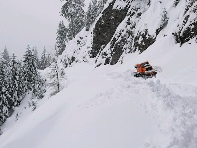
Beers-Seydel said there are ODOT workers in the Cascades plowing the roads and crews are ready to go for whatever the weather brings. She said drivers need to be ready for all the elements, too.
“Be ready for all kinds of weather, be it rain, snow, sleet, fog and ice,” she said. “You might hit a little of all of it this week.”
David Bishop, a meteorologist with the National Weather Service’s Portland offices, said the most hazardous time to travel is Tuesday evening through Wednesday afternoon.
“If you are traveling give yourself as much time as possible,” Bishop said.
In Salem, a half inch to an inch of snowfall is forecasted.
“This is our first little snow event for quite a few people,” he said. “You’ve got to get back into the feel of things.”
Salem’s snow isn’t expected to stick around. Bishop said precipitation starts decreasing heading into Wednesday afternoon and Thursday morning.
 Snow is expected to fall across Oregon Tuesday night. (Courtesy/National Weather Service)
As a low-pressure system moves inland, southern Oregon’s mountains are expected to get hit with snow. Small craft advisories are out for the Oregon coast and a current gale watch could get upgraded to a gale warning.
The National Weather Service in Medford is warning residents about possible power outages.
Bishop said the weather forecasted for southern Oregon is very unusual because low pressure systems usually stay in southern Washington and northern Oregon.
Wednesday is the biggest travel day of the year, Beers-Seydel said, so “slow down, watch out for everybody else, turn on your lights, turn off your cruise control and be extra aware of what’s going on all around you.”
Drivers can look online at TripCheck for live updates on road conditions.
Have a tip? Contact reporter Saphara Harrell at 503-549-6250, [email protected] or @daisysaphara.


